First Alert Weather Day: Major snowstorm expected Friday
Snow shovels will be needed for this Midstate snowstorm on Friday.
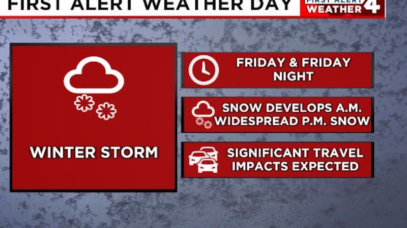
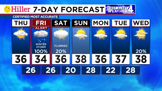
NASHVILLE, Tenn. (WSMV) - A snowstorm will bring major impacts to the Midstate Friday and Friday night.
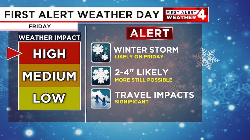
FIRST ALERT WEATHER DAY- FRIDAY AND FRIDAY NIGHT
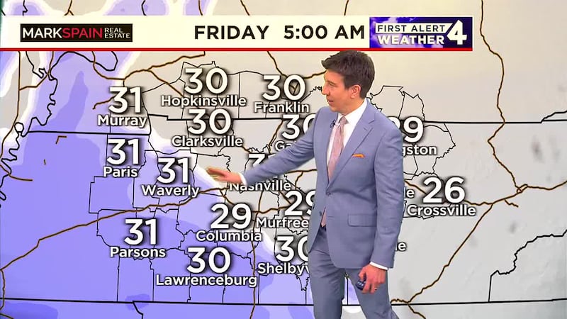
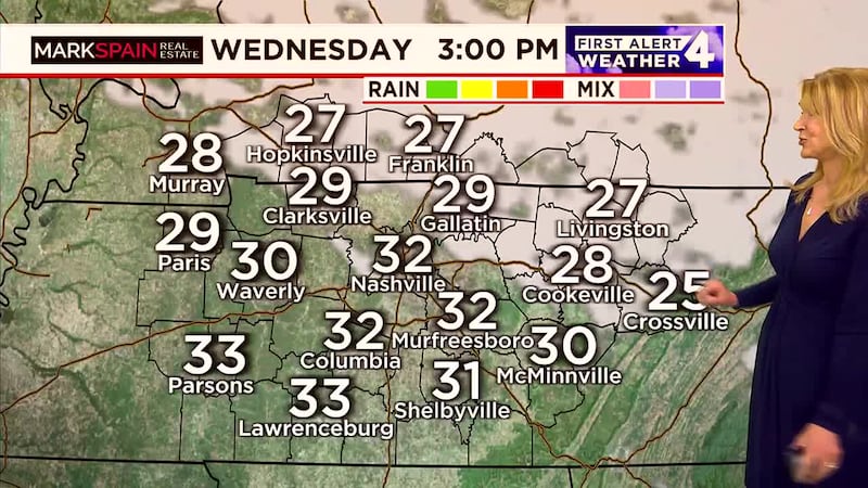
A highly impactful winter storm will impact Middle Tennessee and Southern Kentucky on Friday. Snow will likely start in west Middle Tennessee before sunrise on Friday, between 2am and 5am and then spread eastward across the rest of the Midstate through the morning. Snow will start in Nashville and along I-65 between 4am and 7am and east of I-65 in the Cumberland Plateau between 6am and 9am.
Steady snow will continue through the afternoon, with heavy bands of snow possible in parts of the Midstate. One thing we are watching is the chance for a little mixing in far southern Middle Tennessee that could impact snowfall amounts in those areas.
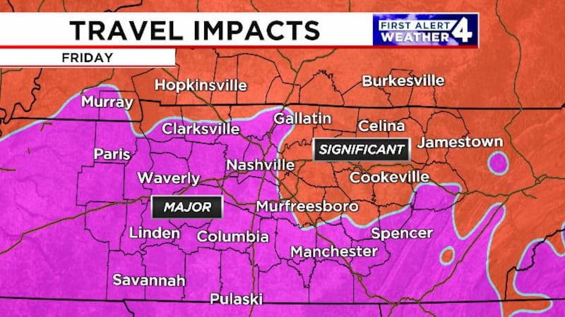
Expect road conditions to quickly deteriorate and flights into and out of Nashville International Airport will also be affected.
Snow will gradually taper off from west to east during the evening on Friday.
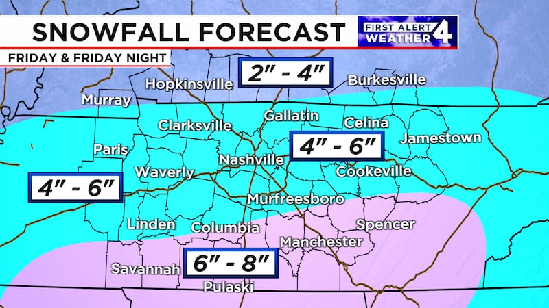
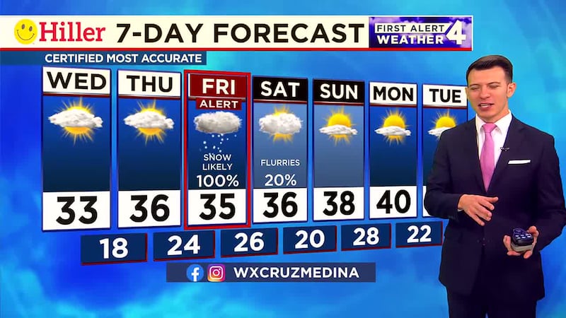
Total snowfall accumulations will be in the 4″ to 6″ range for most of Middle Tennessee. There could be a little more snow accumulation in Southern Middle Tennesse but remember we’re watching for the chance of some mixing in those areas so that could also impact snow totals.
THIS WEEKEND:
Treacherous roads will continue on Saturday. Temperatures will barely make it above freezing. Some improvement is likely on roads Saturday afternoon, mainly where they were pretreated and then shoveled/plowed.
Sunday will turn brighter and slightly warmer during the afternoon. Low, 20. High, 38.
Copyright 2025 WSMV. All rights reserved.