Snow flurries arrive in the Mid State
A First Alert Weather Day is in effect Wednesday as colder air moves back into the Mid State.
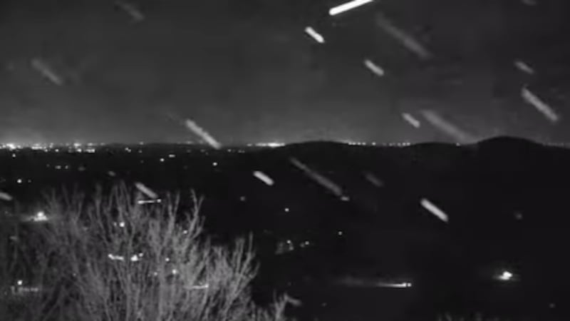
NASHVILLE, Tenn. (WSMV) - Snowflakes and a wintry mix started falling in Nolensville early Wednesday morning.
A First Alert Weather Day is in effect Wednesday as colder air moves back into the Mid State.
Have weather pictures or videos? Share them here.
Download the WSMV 4 First Alert Weather app for iPhone or Android, so you can stay informed on the go and in between newscasts. We share custom videos, plus you can choose to get messages from us on the latest conditions and forecasts.
Sufficient moisture is present for a burst of flurries and snow showers. A dusting will be possible in spots just north and east of Nashville. We could potentially see a little more along the higher elevations of the Cumberland Plateau.
Watch for spotty slick roads, bridges, and overpasses early Wednesday morning, especially well northeast of Nashville.
Wednesday will be variably cloudy, breezy, and chilly with highs in the 40s and wind chills in the 30s.
We could still see an isolated rain shower or snow shower Wednesday afternoon, but with temperatures above freezing no accumulation is expected.
Copyright 2024 WSMV. All rights reserved.


